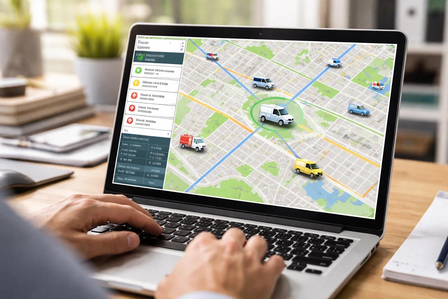
Terminal Mapping & Smart Geofencing

Optimize port operations with intelligent terminal mapping and geofencing technology. Define virtual zones across terminals, yards, container stacks, loading bays, entry/exit gates, and restricted areas to monitor vehicle movements in real time.

Key Features

Digital Port Zone Boundaries

Draws virtual borders on the port map around hazardous material yards, customs zones, and berth areas.

It keeps heavy yard vehicles inside their assigned zones and flags unauthorized entry into restricted areas.

Speed Limit Enforcement in High-Risk Zones

Tracks vehicle speeds near active berth cranes, pedestrian walkways, and heavy equipment zones.

It reduces accidents on busy terminal docks and protects ground workers near heavy machinery.

Live Terminal Traffic & Congestion Control

Monitors traffic density across terminal roadways and automatically alerts dispatchers to bottlenecked gridlocks.

It allows managers to re-route container trucks to open lanes and keep port traffic flowing smoothly.

Ready to Transform Your Business?

Request a demo today and experience the future of AI-powered customer engagement.